Northeast Lakeland, from Lake Parker to Florida Poly, is mostly ZIP 33805 and zoned for Tenoroc High. Zillow's typical value was $231,781 in August 2026.
Last checked Oct. 9, 2026. Sources: the City of Lakeland’s planning sectors map and neighborhoods map, Polk County Public Schools’ Address Zoning tool, the Florida Department of Education’s 2026 school grades, Zillow Research, Citrus Connection and OpenStreetMap.
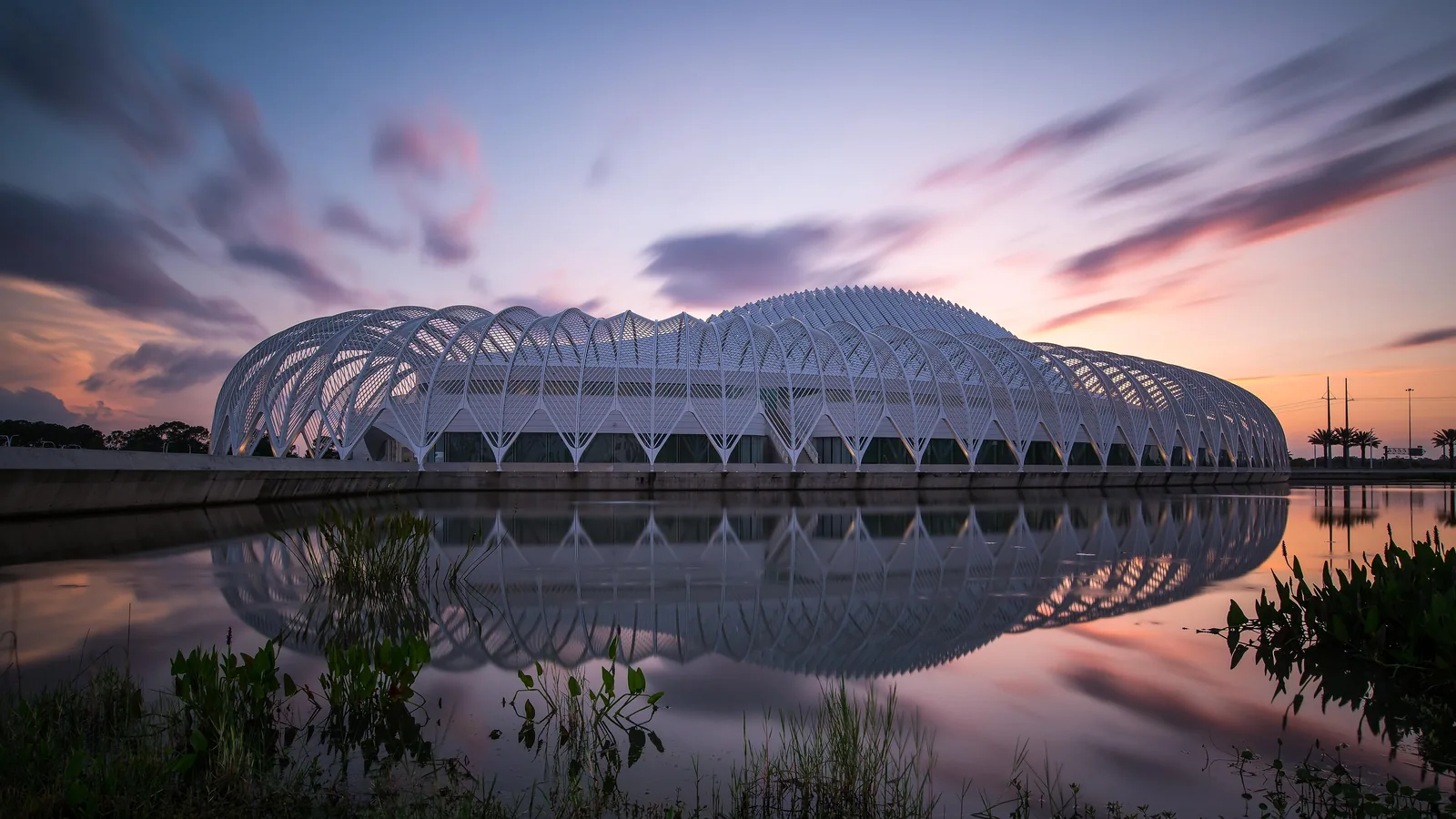
Northeast Lakeland is the largest of the nine planning sectors on the city’s map, about 41 square miles. It runs from the Lake Parker area past Interstate 4 to the Polk Parkway’s east end, which FDOT places next to Florida Polytechnic University. Lake Crago Park and the state’s Tenoroc Fish Management Area are inside it.
What this means for you
- Zoned high school: Tenoroc High for 97% of addresses; check yours with the district’s Address Zoning tool.
- Home value: $231,781 in ZIP 33805 in August 2026, according to the Zillow Home Value Index.
- Nearest I-4 exits: Exit 33, State Road 33, on the sector’s western edge; Exit 41, the Polk Parkway, about 5.8 miles from the middle of the area by road.
Part of our Lakeland neighborhoods guide.
Where it is
On the city’s planning sectors map, Northeast Lakeland is bounded in part by Lakeland Hills Boulevard and Commonwealth Avenue (both State Road 33) on the west, Berkley Road on the north and Saddle Creek Road on the south. I-4, the Polk Parkway, University Boulevard and North Combee Road cross it.
City or county? About 57% of the land is inside city limits, by the city’s maps, and 90% of the 373 addresses we checked had a Lakeland jurisdiction in the school district’s records.
ZIP codes: 92% of the addresses we checked were in 33805, 6% in 33809 and 2% in 33801.
Named neighborhoods. The city’s neighborhoods map names Bridgewater, Harbor Glen, Lakeland Harbor and Long Lake in this sector; none has an active association registered with the city. OpenStreetMap places the community of Orangedale here.
Schools
We looked up 373 addresses in this sector in Polk County Public Schools’ Address Zoning tool for the 2026-27 school year. Grades are the Florida Department of Education’s 2026 school grades.
| Level | School | Share of addresses | 2026 grade |
|---|---|---|---|
| High | Tenoroc High | 97% | C |
| High | Lake Gibson High | 3% | C |
| Middle | Lake Gibson Middle | 76% | C |
| Middle | Jere L. Stambaugh Middle | 15% | C |
| Middle | Crystal Lake Middle | 9% | C |
| Elementary | Wendell Watson Elementary | 73% | C |
| Elementary | Lena Vista Elementary | 13% | C |
| Elementary | Philip O’Brien Elementary | 9% | C |
| Elementary | North Lakeland Elementary | 4% | C |
Tenoroc High is at 4905 Saddle Creek Road, just south of the sector. See our schools guide.
Home values
The typical home value in ZIP 33805 was $231,781 in August 2026, down 3.5% from $240,225 in August 2025, according to the Zillow Home Value Index. The index is a modeled typical value for the middle third of homes in the whole ZIP code, not a sale price, and 33805 also covers Midtown’s older neighborhoods. The citywide Lakeland figure was $309,954, down 1.3% on the year. More in our home prices guide.
Parks and trails
- Lake Crago Park, 525 Lake Crago Drive: a boat ramp, fishing dock, amphitheater, the John Rodda Sports Complex, a dog park and a recreation center (863-834-2215), from our parks and trails guide.
- Tenoroc Fish Management Area, a state-managed area with a public use area, mapped in OpenStreetMap inside the sector.
- Sertoma Park, 1800 E. Memorial Blvd., and the Lake Parker shore park on West Lake Parker Drive, both on the sector’s edge, on the city’s parks map.
The first segment of the city’s planned Tenoroc Trail will run from Lake Crago Park to State Road 33.
Getting around
- I-4: Exit 33, State Road 33 and Socrum Loop Road, on the western edge; Exit 38, State Road 33 toward Polk City; and Exit 41, the Polk Parkway, about 5.8 miles from the middle of the area by road. Exit numbers are from OpenStreetMap.
- Downtown: about 10 miles to Munn Park from the middle of the sector; the Lake Parker side is much closer.
- Airports: about 19 miles to Lakeland Linder International, about 48 miles to Tampa International and about 49 miles to Orlando International. These are road distances on the OpenStreetMap network measured with the OSRM routing engine, not drive times.
- Buses: Citrus Connection runs Pink Line shuttles for the Lakeland Hills Boulevard construction; its Find My Route tool shows current stops.
More in our getting around guide.
Groceries and everyday stores
OpenStreetMap maps no supermarket inside the sector. The nearest it maps are Publix, 5375 N. Socrum Loop Road, and Winn-Dixie, 6600 N. Socrum Loop Road, both in North Lakeland, with a CVS Pharmacy on North Socrum Loop Road. Its store coverage in Lakeland is incomplete.
How we drew this area
This is the “Northeast Lakeland” sector on the city’s planning sectors map. School shares come from addresses inside it that we looked up in the district’s zoning tool on Oct. 9, 2026. Place names and store locations are © OpenStreetMap contributors.
Frequently asked questions
Is Northeast Lakeland a good place to live?
Here are the facts. Northeast Lakeland is the largest of the city’s nine planning sectors, from the Lake Parker area past I-4 to Florida Polytechnic University, with Lake Crago Park and the Tenoroc Fish Management Area. Almost all addresses are zoned for Tenoroc High, graded C by the state for 2026, and Zillow put the typical home value in ZIP 33805 at $231,781 in August 2026.
What high school is Northeast Lakeland zoned for?
Tenoroc High for 97% of the Northeast Lakeland addresses we checked in Polk County Public Schools’ zoning tool. Most are zoned for Lake Gibson Middle and Wendell Watson Elementary.
What ZIP code is Northeast Lakeland?
Mostly 33805, with small parts in 33809 and 33801, according to the school district’s address records.
Which I-4 exits serve Northeast Lakeland?
Exit 33, State Road 33 and Socrum Loop Road; Exit 38, State Road 33 toward Polk City; and Exit 41, the Polk Parkway, are on or inside the sector, by the exit numbers in OpenStreetMap.
Have your say